
Freunden von diesem Artikel berichten:
Spatial Modeling of Soil Salinity Using Remote Sensing, Gis, and Field Data Luis Garcia
Bestellware
 Weihnachtsgeschenke können bis zum 31. Januar umgetauscht werden


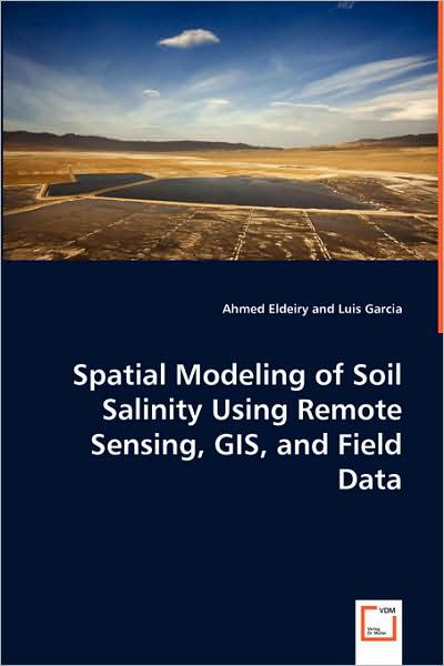
Spatial Modeling of Soil Salinity Using Remote Sensing, Gis, and Field Data
Luis Garcia
The environmental damage that salinity can cause is massive. In its early stages, soil salinization reduces soil productivity, but in advanced stages, salinization kills all vegetation and transforms fertile and productive land to barren waste. Remote sensing data has great potential for monitoring dynamic processes, including salinization. Any integration of field data, GIS, and remote sensing is considered weak unless some strong statistical measures are introduced. This study has shown the benefit of using satellite images in generating accurate soil salinity maps. Corn and alfalfa crops were selected as indicators of soil salinity. Five images were acquired from Aster, Ikonos, and Landsat to check the correlation between measured soil salinity and remote sensing data. Observed data was used in conjunction with satellite images. Three models were applied to predict soil salinity from remote sensing: the ordinary least squares model (OLS), spatial autoregressive model (SAR), and modified kriging model. This study has demonstrated a more efficient and accurate way of estimating soil salinity from remote sensing data that should help the efforts toward sustainable agriculture.
| Medien | Bücher Taschenbuch (Buch mit Softcover und geklebtem Rücken) |
| Erscheinungsdatum | 4. August 2008 |
| ISBN13 | 9783639065978 |
| Verlag | VDM Verlag |
| Seitenanzahl | 110 |
| Maße | 150 × 220 × 10 mm · 158 g |
| Sprache | Englisch |
Weitere Titel von Luis Garcia
Alle anzeigen


Andere haben auch gekauft
![Cover for Enya · Christmas Secrets EP (CD) [EP edition] (1990)](https://imusic.b-cdn.net/images/item/original/326/0825646419326.jpg?enya-1990-christmas-secrets-ep-cd&class=scaled&v=1177912348)


Alle Titel von Luis Garcia ansehen ( u. a. Taschenbuch , CD und Gebundenes Buch )