

Freunden von diesem Artikel berichten:
Rand McNally Folded Map: San Diego Street Map
 Weihnachtsgeschenke können bis zum 31. Januar umgetauscht werden


Rand McNally Folded Map: San Diego Street Map
Rand McNally
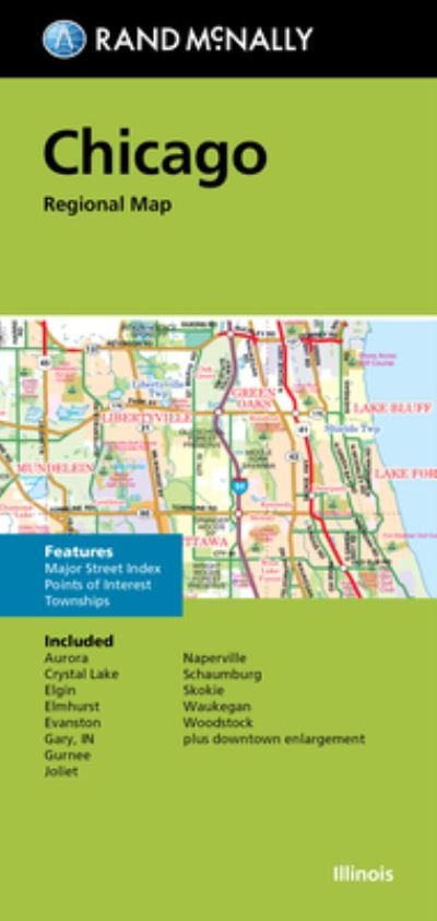
Rand McNally's folded map for San Diego is a must-have for anyone traveling in and around this part of California, offering unbeatable accuracy and reliability at a great price. Our trusted cartography shows all Interstate, U. S., state, and county highways, along with clearly indicated parks, points of interest, airports, county boundaries, and streets. The easy-to-use legend and detailed index make for quick and easy location of destinations. You'll see why Rand McNally folded maps have been the trusted standard for years. -Regularly updated. -Full-color maps. -Clearly labeled Interstate, U. S., state, and county highways. -Indications of parks, points of interest, airports, schools, shopping malls, county boundaries, downtown & vicinity maps. -Easy-to-use legend. -Detailed & full street index. -Convenient folded size. Coverage Area: Communities included, Chula Vista, Coronado, El Cajon, Imperial Beach, La Mesa, Lemon Grove, National City, Spring Valley, Sunnyside. Product Details: Measures 9.5' x 4' and folds out to 40' x 28'.
| Medien | Bücher Taschenbuch (Buch mit Softcover und geklebtem Rücken) |
| Erscheinungsdatum | 17. August 2021 |
| ISBN13 | 9780528025082 |
| Verlag | Rand McNally |
| Maße | 104 × 224 × 5 mm · 113 g |
| Sprache | Englisch |
Weitere Titel von Rand McNally
Alle anzeigen


Andere haben auch gekauft
![Cover for Per Jensen · Verdens mest almindelige fugl - en kærlighedserklæring til høns (Gebundenes Buch) [1. Ausgabe] (2024)](https://imusic.b-cdn.net/images/item/original/012/9788794571012.jpg?per-jensen-2024-verdens-mest-almindelige-fugl-en-kaerlighedserklaering-til-hoens-gebundenes-buch&class=scaled&v=1717822126)
![Cover for Preben Hansen · Turen Går Til: Turen går til Californien & Vestlige USA (Taschenbuch) [5. Ausgabe] (2021)](https://imusic.b-cdn.net/images/item/original/578/9788740063578.jpg?preben-hansen-2021-turen-gaar-til-turen-gaar-til-californien-vestlige-usa-taschenbuch&class=scaled&v=1623395637)
![Cover for Knud Romer · Den som blinker er bange for døden (Taschenbuch) [5. Ausgabe] (2016)](https://imusic.b-cdn.net/images/item/original/573/9788711569573.jpg?knud-romer-2016-den-som-blinker-er-bange-for-doeden-taschenbuch&class=scaled&v=1480182943)
![Cover for Jens Andersen · Kongeord (Gebundesens Buch) [1. Ausgabe] (2024)](https://imusic.b-cdn.net/images/item/original/776/9788740092776.jpg?jens-andersen-2024-kongeord-gebundesens-buch&class=scaled&v=1706260512)
![Cover for Kerstin Ekman · Ulvespring (Gebundesens Buch) [1. Ausgabe] (2022)](https://imusic.b-cdn.net/images/item/original/272/9788702347272.jpg?kerstin-ekman-2022-ulvespring-gebundesens-buch&class=scaled&v=1661970721)


Alle Titel von Rand McNally ansehen ( u. a. Taschenbuch , Landkarten , Gebundenes Buch , Buch und Spiralbuch )