

Freunden von diesem Artikel berichten:
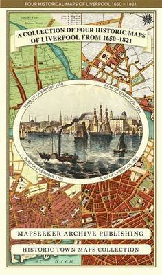
Cornwall 1611 - 1836 - Fold Up Map that features a collection of Four Historic Maps, John Speed's County Map 1611, Johan Blaeu's County Map of 1648, Thomas Moules County Map of 1836 and Robert Dawson's Reform Act Plan of Truro 1831. The maps are surrounde
Mapseeker Publishing Ltd.
Preis
S$ 35,50
Bestellware
Lieferdatum: ca. 7. - 14. Jun

Zu deiner iMusic Wunschliste hinzufügen
Cornwall 1611 - 1836 - Fold Up Map that features a collection of Four Historic Maps, John Speed's County Map 1611, Johan Blaeu's County Map of 1648, Thomas Moules County Map of 1836 and Robert Dawson's Reform Act Plan of Truro 1831. The maps are surrounde
Mapseeker Publishing Ltd.
This folded map (890mm x 1000mm when unfolded) is an ideal souvenir for tourists to Cornwall and also a valuable reference resource for local and family history research. It includes 4 Historic maps of Cornwall.
1 pages
| Medien | Bücher Landkarten (Land- oder Seekarten) |
| Erscheinungsdatum | 18. November 2014 |
| ISBN13 | 9781844918256 |
| Verlag | Historical Images Ltd |
| Seitenanzahl | 1 |
| Maße | 228 × 138 × 43 mm · 106 g |
Alle anzeigen
Weitere Titel von Mapseeker Publishing Ltd.


Alle Titel von Mapseeker Publishing Ltd. ansehen ( u. a. Landkarten und Taschenbuch )